Drone 4K Aerial Sweep At 80 M Altitude Over Busia County Western Kenya 2-hectare Sloping Farm Covered
Description
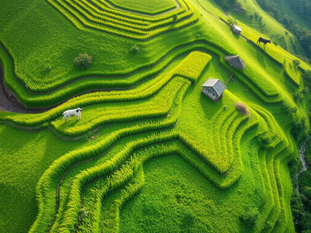
Drone 4K aerial sweep at 80 m altitude over Busia County, Western Kenya. 2-hectare sloping farm covered with contour terraces lined with bright-green Napier grass. Between terraces: maize, beans, and vegetables thriving. 2 dairy cows visible near homestead paddock; compost heap nearby. Fanya-juu terraces visible: ditches on upslope, banks on downslope. Rainwater flows gently in terrace ditches; sunlight catches water glint. Camera: Drone slow pan + descent to 30 m revealing terrace alignment. Lighting: Morning diffused light (Western Kenya humidity, 5400 K). Mood: Productive harmony — conservation meets prosperity.
Created On
04.11.2025 07:01
Related Images

create a powerful and innocent jinn picture for animation mo

Der Begriff Nova ✨ Gestaltung der Buchstaben: Der Buchstab

AI, Create, REDABLE, Cute, unique, animated: Purple and Blue

Very Old rebel redneck Cowboy standing in Front of an kenwor

In the illustration, a long narrow street with walls on the

1960s mature chubby figure big chest red lipstick blond shor

The hills we walked, hand in hand, where the bamboo bends an
Erstelle mir ein Text-Logo in geschwungener Schrift, so dass

The painting depicts a vampire dressmaker's studio: a d

Generate an image with a colored illustration of 'swimm

Bicycle with sturdy spokes, white front light, and red rear

overview A very pretty female butcher, her face seen from th

The butcher's wife is wearing a butcher's jacket a

A group of college girls with hoodies, large gowns and platf